|
AIRMAP |
||||
|
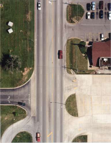
AIRMAP can provide close-up images of a site recorded with Triodyne's patented Blimp/Camera system or with a standard flyover photographic survey. Our aerial images are scaleable and ideally suited for mapping highway evidence and for displaying the evidence. All of our imaging is digitally stored for accurate image processing, analysis, and large scale printing. |
||||
|
|
Original aerial view
|
Image with accident reconstruction data.
|
||